11.5.2026
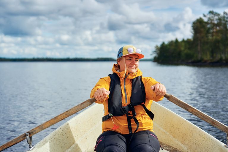
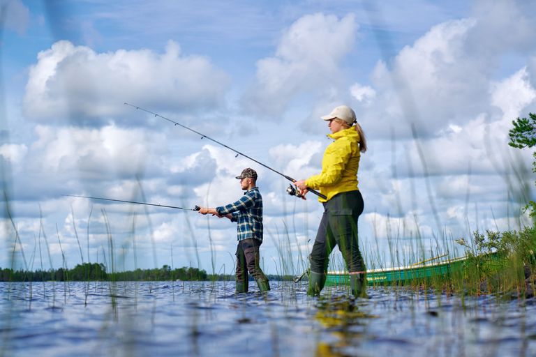
Fishing
Fishing permit areas renewed: learn about the changes
At the turn of the year, five large angling permit areas were redistributed into 52 new permit areas. In addition, the boundaries of trap fishing permit areas were revised.
This joint permit area contains private and state-owned waters in the Raudanjoki River between Vaiskojokisuu and Lake Vikajärvi (total length of approximately 60 km). There are also several private waters that are not included in the permit area.
1 January –31 December
11.5.2026
At the turn of the year, five large angling permit areas were redistributed into 52 new permit areas. In addition, the boundaries of trap fishing permit areas were revised.
2.1.2026
The wording of the terms is clarified, and the new structure better reflects the customer journey in the Eräluvat.fi service. The terms also specify how and where customers can place an order, how they benefit from logging in during the ordering process, and whom to contact in case of problems or changes.
The boundary of latitude line 67°00’N passes through Seipälampi. The position of latitude line 67°00’N must be checked by the fishers on the permit area map, as this affects catch dimensions and protection periods.
In this permit area, you will need an angling permit when lure fishing in sections with rapids and running water. You will also be required to pay the fisheries management fee, unless you are under 18 years of age, over 70 years of age, or are 65 years of age or older as of 31 December 2023.
If you are lure fishing with only one rod and lure in still waters, such as river pools, payment of the fisheries management fee is sufficient.
Hook and line fishing and ice fishing are fully prohibited in running and rapids sections of waters with migratory fish stocks (i.e. also this permit area). In still waters, hook and line fishing and ice fishing are permitted free of charge with one rod.
Always make sure to check the location of the permit area. Please see either the map window or the PDF map on this page. Enlarge the map window to view the location of the permit area more clearly.
In the River Raudanjoki there are also several private waters that are not included in the permit area. The location of the permit area and position of latitude line 67°00’N must be checked by the fishers on the permit area map. The latitude line is marked on the PDF map.
With regard to fisheries management, the stocking of trout fry was begun in the Raudanjoki river area in 2023.
Call cost €0.00/min + mobile charge/local network rate. Urgent orders always by phone.
Ounasjoentie 6
96200 Rovaniemi
Check additional information and opening hours (tiedekeskus-pilke.fi).Markku Vierelä
Vesa Ihalempiä
Each angler must ensure the careful and respectful handling of fish caught regardless of whether the fish will be released or eaten. Read the guidelines here!
Visitors to Metsähallitus wilderness sites are expected to observe Outdoor etiquette. It encourages fishers and hunters to take nature, other people, catches and game into consideration in all activities. Find out more about the etiquette!
For which waters does Metsähallitus sell fishing permits? How close to someone else's cottage shoreline can you fish? What is the value of endangered fish species? Check out the answers to the most common questions!
Permits are sold for the period:1.1.–31.12.2026
Permits are sold for the period:1.1.–31.12.2026